Table of Contents
- 1Quick Answer: How Do You Get a Property Line Survey?
- 2When You Actually Need One
- 3Step 1: Squeeze the Free Research First
- 4Step 2: Pick the Right Type of Survey
- 5Step 3: Hire and Verify the Surveyor
- 6Step 4: The Field Work — What Actually Happens
- 7Step 5: Use the Results Before They Go Stale
- 8Why Counties Don't Just Tell You Where the Line Is
- 9Survey Cost Factors: Why Quotes Vary
- 10Property Line Survey FAQs
- 11How much does a property line survey cost?
- 12Can I survey my own property line?
- 13Is a survey required for a building permit?
- 14How long does a survey take?
- 15Does the surveyor mark the line along the sides, not just corners?
- 16What's the difference between a survey and a plat?
- 17Before You Dig, Measure
Quick Answer: How Do You Get a Property Line Survey?
You hire a licensed land surveyor, who researches your deed and subdivision plat, locates the physical monuments on your lot, and either re-stakes your corners or delivers a signed drawing showing exactly where your boundaries run. Costs commonly land between $300 and $1,200 for a typical residential lot, with price driven by lot size, terrain, vegetation, and how hard your corners are to find. The process takes one to three weeks end to end in most markets.
What a survey is not: a Google Maps screenshot, a county GIS line, or your neighbor's opinion of where the fence has always been. Online parcel lines are cartographic approximations that can be off by several feet — enough to sink a setback-compliant build or start a fence war. Only a licensed surveyor's work creates a legal measurement of your boundary.
📌 Quick facts: Surveyors are state-licensed professionals. Texas, for example, licenses them through the Board of Professional Engineers and Land Surveyors — every state runs an equivalent board you can use to verify a license for free. Cities do not survey private property: as Seattle's property-line guidance puts it, confirming your lines is the owner's job.
When You Actually Need One
Surveys cost real money, so it helps to know the situations where skipping one costs more:
- Building anything near a setback line — an addition, ADU, garage, or deck that will sit within a few feet of the limit
- Installing or replacing a fence — the single most common trigger, and the single most common source of neighbor litigation (see our fence setback guide)
- Buying or selling — lenders sometimes require one, and buyers order them when the deed description looks odd
- Boundary disputes — encroaching sheds, driveways crossing lines, tree arguments
- Missing or destroyed corner monuments — common in pre-1980 neighborhoods where rebar corners rusted away decades ago
- Permit applications that require one — some building departments demand a survey for additions near lot lines; others accept a self-measured site plan until an inspector disputes it
The throughline: any time a measurement could become legally expensive, a survey is cheap insurance. Our rear yard setback guide shows how often a single foot determines whether a project is buildable at all.
Step 1: Squeeze the Free Research First
An hour of free homework makes the paid survey faster and sometimes unnecessary-adjacent — you'll at least know what to ask for:
- Pull your deed and title policy. The legal description (metes and bounds, or lot-and-block) defines your parcel on paper. The title policy's plat exhibit shows the recorded geometry.
- Download the subdivision plat. Recorded plats live at the county recorder or clerk's office, often searchable online. They show lot dimensions, monuments, easements, and right-of-way lines — the surveyor will start from this document anyway.
- Check the county GIS viewer. Useful for orientation, never for measurements. Treat the parcel lines as a sketch, not a survey — the offset from reality is exactly what you're paying to eliminate.
- Walk the lot for monuments. Iron rods or pipes at corners, sometimes flagged with plastic caps stamped with the original surveyor's license number. Finding them yourself doesn't replace the survey, but finding two tells you which corners are in play.
- Read the easements. Utility easements along rear and side lines show on the plat. They're legal boundaries that matter more than the lot line itself — no structure goes in them regardless of where your fence sits.
Step 2: Pick the Right Type of Survey
"Survey" is a family of products with different prices and purposes. Ordering the wrong one wastes the entire fee:
| Type | What you get | Best for | Typical residential cost |
|---|---|---|---|
| Boundary survey | Corners located and staked; signed plat of the parcel | Fences, additions, disputes, setbacks | $300–$1,200 |
| Stake-out / corner re-stake | Physical stakes at the corners, minimal drawing | Fence installation on known boundaries | $200–$600 |
| Improvement (as-built) survey | Boundary + locations of existing structures | Permit applications, setback verification for existing buildings | $400–$1,500 |
| Topographic survey | Elevations, drainage, features | Grading, drainage design, pools | $500–$2,000 |
| ALTA/NSPS survey | National-standard commercial package | Commercial deals — overkill for homes | $1,500–$3,000+ |
| Mortgage location survey | Quick structure-to-line check for lenders | Refinances — not reliable for construction | $100–$300 |
For the homeowner projects this site covers — fences, garages, ADUs, additions — the boundary survey or improvement survey is the right tool. The mortgage-location product your lender accepted at purchase is not sufficient for construction; its tolerances are wider than the setbacks you're trying to verify.
Step 3: Hire and Verify the Surveyor
Licensing is the whole ballgame. Land surveying is a state-licensed profession in all fifty states — practicing without a license is illegal, and only licensed work creates the legal record your project may someday need. Verification takes five minutes:
- Look up the license on your state board's website (every state maintains a free public lookup — engineering and surveying boards are usually combined).
- Confirm it's a surveying license, not an engineering-only license — the boards are combined but the licenses are distinct.
- Ask about local experience. A surveyor who has worked your subdivision has probably already found your monuments once.
- Get the scope in writing: corners staked, drawing delivered, easements shown, and whether the deliverable is recorded with the county.
The Bureau of Labor Statistics' surveyor profile is a useful reality check on the profession's scale — this is a licensed technical field with professional liability on the line, which is exactly why their stamp carries legal weight your tape measure never will.
Step 4: The Field Work — What Actually Happens
Understanding the process explains what you're paying for, and why it takes longer than "just measuring":
- Records research (1–3 days). The surveyor pulls your deed, the subdivision plat, adjoining deeds, and any recorded surveys of neighboring parcels, then reconciles conflicts between documents — deeds overlap more often than you'd think.
- Monument search (1 day). Field time locating the physical evidence: corner irons, pipe monuments, wall corners of old structures, and the "calls" in your deed that reference trees, roads, or fences.
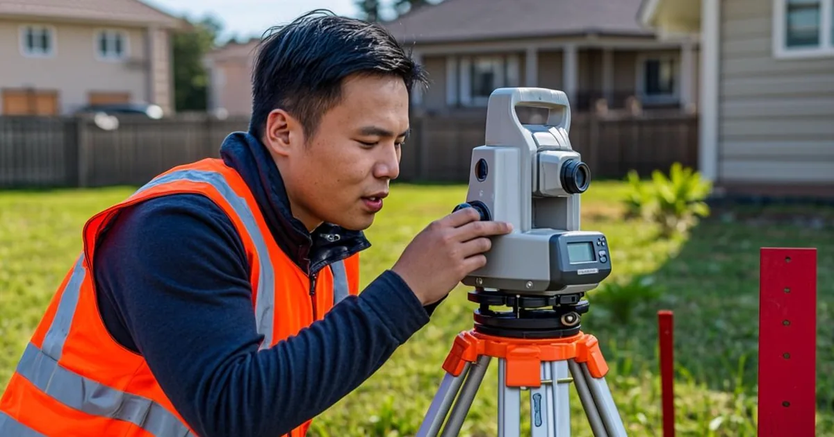
- Measurement (1 day). Total stations and GNSS receivers measure the found monuments with centimeter-grade precision, and the math either closes (the measurements agree with the plat) or doesn't (which is how missing corners get re-established).
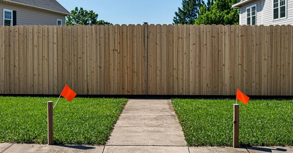
- Staking and drawing. Corners get flagged stakes or rebar with caps; the signed drawing (the "plat of survey") shows dimensions, encroachments, easements, and structures relative to the lines.
The deliverable that matters most for permits is the drawing showing existing structures relative to property lines — that's what a plans examiner reads to verify your addition clears the setback, and what our front setback rules by state and municipal garage setback guides assume you've measured correctly.
Step 5: Use the Results Before They Go Stale
A survey sitting in a drawer is money spent twice. The stakes rot, the neighbors landscape over them, and the next project re-orders the same work. Use it immediately:
- Photograph every stake with a visible reference point (house corner, driveway edge) and a tape measure reading — phone photos have saved more fence disputes than lawyers have.
- Build from the stakes, not the fence. Set string lines off the surveyor's corner markers before digging post holes.
- Attach the plat to your permit application — it converts setback questions from opinion to documentation.
- Keep the PDF permanently — it transfers value to the next owner and answers the "where exactly is the line" question at sale time.
⚠️ Warning: If the survey reveals your neighbor's fence, shed, or driveway is actually on your lot, resist the urge to escalate with a letter written in all caps. Encroachments have legal remedies — from quitclaim boundary-line adjustments (cheap, amicable, permanent) to quiet-title actions (neither) — and the surveyor's drawing is step one of any of them. Talk to the neighbor with the drawing in hand first; most encroachments started with the same map you're both looking at now.
Why Counties Don't Just Tell You Where the Line Is
The question every homeowner asks: the county has my deed, my plat, and my tax bill — why can't they measure my lot? Because measurement is a licensed act with liability attached. County GIS lines are drawn from record documents without field verification, and if the county's drawing put your fence three feet onto a neighbor's parcel, that error would be a lawsuit with the county as defendant. Cities are explicit about this — Seattle's property-line page is representative of the standing policy nationwide: the county records boundaries, licensed surveyors measure them.
What counties do provide for free: recorded plats, deed images, GIS viewers, and assessor parcel maps. That's the research layer — the licensed professional adds the field layer on top of it.
Survey Cost Factors: Why Quotes Vary
Two surveyors can quote the same lot 400% apart, and both quotes can be honest. The variables:
- Monument recovery — two obvious corner irons on a flat square lot is a half-day; a wooded quarter-acre with forty-year-old missing pins is several field days
- Record conflicts — deeds that don't agree with each other take research hours to reconcile
- Terrain and access — slopes, drainage ditches, and fence lines that must be walked
- Deliverable type — staked corners with no drawing cost less than a recorded, signed plat
- Turnaround — rush delivery typically adds 25–100%
Get three quotes, compare the scope line by line (staked corners? signed drawing? easements shown?), and treat an unexplained lowball as a scope you'll be re-ordering.
Property Line Survey FAQs
How much does a property line survey cost?
Typical residential boundary surveys run roughly $300–$1,200, with small simple lots at the low end and large, wooded, or monument-poor lots at the high end. Corner re-staking without a full drawing can run less; improvement surveys for permit applications run more.
Can I survey my own property line?
You can measure, and you can find your own corner monuments — but only a licensed surveyor's work has legal standing. For anything touching setbacks, fences, or disputes, self-measurement creates liability without resolving the question.
Is a survey required for a building permit?
Depends on the project and the jurisdiction. Many departments accept a self-measured site plan for small accessory structures, then require a survey when an addition lands close to a setback line or an inspector disputes your dimensions. Surveys are commonly required for new construction and ADUs.
How long does a survey take?
One to three weeks door to door in most markets: a few days of records research, a day or two in the field, and drawing turnaround. Rush service is usually available at a premium.
Does the surveyor mark the line along the sides, not just corners?
On request. A "line stake-out" sets intermediate stakes along the boundary so you can see the line between corners — worth the extra fee for fence projects, since a straight fence between two correct corners can still wander offline mid-span.
What's the difference between a survey and a plat?
A plat is the recorded subdivision map that defined your lot originally; a survey is field work that locates that plat on the actual ground. The surveyor starts from the plat and delivers a new drawing tying the record to reality.
Before You Dig, Measure
✅ Key takeaway: Mine the free records first, order a boundary survey (not a mortgage-location sketch) when real money is riding on the line, verify the license on your state board's lookup, photograph the stakes, and attach the drawing to your permit application. It's the cheapest step in any project that touches a property line — and the only one that ends arguments instead of starting them.